
North of Concord and south of the White Mountains is an estate romantically named Castle in the Clouds. Reclining on the patio there on a pleasant spring afternoon, you might enjoy the sun as well as the view. While it’s a beautiful view today, 122 million years ago it would have been a lot more exciting: you would have been staring at an active volcano.
Some articles about the Ossipee Mountains compare the former volcano that created them to Mount Vesuvius or Mount Fiji, attributing to it an eruption ten times bigger than Mount St. Helens’ last explosion. Nelson Eby, Professor of Geosciences at the University of Massachusetts, Lowell, is less sure. “We don’t actually know that there was a big volcano,” said Eby; “it might have been small. What we do know is that however big the original volcano was, it ultimately collapsed on itself.”
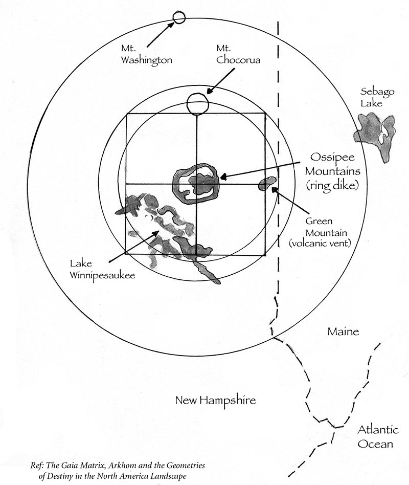
The Ossipee Mountains are a famous (to geologists, at least) example of a ring dike complex. These geologic formations are scattered around the northeast: Mount Pawtuckaway to the south is a smaller example. The Ossipee ring dike complex is noteworthy because it was the first of its kind to be studied, the outer ring dike is very nearly complete, and with a nine-mile diameter, it’s pretty big.
Ring dike complexes form when a magma chamber collapses. The rock above the pocket of magma sinks, causing the magma below to flow up into the cracks around the subsiding chunks of rock. Picture the molten rock like blobs in a lava lamp, rising into the continental crust of ancient New Hampshire and then cooling. The outer ring of solidified magma is the ring dike.
At the time the Ossipee ring complex first formed, it wouldn’t have looked like a circular clump of wrinkly hills, as it does now. Dr. Eby thinks the newly-formed Ossipee ring dike complex probably looked like a modern collapsed caldera, such as the Ngorongoro crater in Tanzania: a distinct outer rim of rock surrounding a circular valley. Over the last 122 million years, a combination of regional uplift and erosion have shaped the hard igneous rock of the ring complex into the mountains we see today.
The geology of modern mountains can be hard to see because mountains are usually covered in trees, but hikes throughout the Ossipee Mountains provide a glimpse at the geologic landscape. Connor Pond and Dan Hole Pond on the eastern side of the complex are thought to be the remnants of ancient gas vents. The Cold Brook bridge on the Mountain Road is a scenic stop, but also provides views of the volcanic rocks – igneous basalt and rhyolite – that make up the western side of the complex. Multiple hiking trails provide opportunities to inspect more igneous rock outcrops, such as the Mount Shaw hiking trail or the Bald Knob Connector trail, which passes piles of columnar basalts similar to those at Giant’s Causeway in Ireland, but smaller.
It would have been exciting to witness the volcanic activity in our region 122 million years ago. But it’s also nice to know that these days we can recline on patios built from basalt and rhyolite and enjoy the landscape created by this volcano, without any magma interrupting brunch.