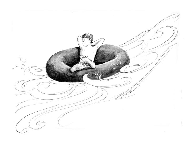
To be wet on a hot summer day is a glorious thing. On a steamy weekend, you don’t have to go far to find long lines of cars beside the road and people soaking in the river below. One of the premier ways to chill is in the form of a tube: flotillas of friends launch themselves on inflated tire tubes to cool off, have a relaxed adventure, and study the way water shapes the world.
Well, maybe it’s just me thinking about how water shapes the world. Reposing on a squishy black tube, I find myself going just about nowhere, and slowly at that. But then the path of a floating leaf suggests a subtle current. Before long, I feel the tug of gravity as it begins to draw the river, and my tube, toward the sea.
At times this placid drifting is interrupted by rocks. Bedrock protrudes from the surface, and the river plunges stepwise through a cascade or across a gravel bar. This adds a certain zest to the trip, and sometimes a bruise.
You have no choice but to go where the river takes you. Seasoned river travelers talk about the “thalweg”, or “valley way”, which is the path of the deepest , quickest, and most powerful current in the channel. Usually the thalweg follows a curving line that is carving the river’s deepest channel. It tends to run rapidly downhill until it hits a river bank, where it gets deflected. The fast water of the thalweg scours out the sediments at the foot of the bank and pushes those sediments downstream. The face of the bank collapses, exposing fresh soil, often soil that was deposited by the river years or centuries earlier. These steep, raw cutbanks are places to watch for nesting bank swallows and kingfishers, while the scoured pools at the foot of the bank provide cool refuges for fish.
Below these pools, the river pushes up against the scoured sediment, with first rocks, then gravel, and then sand successively dropping out as the current slows. Eventually, the river slips across the bar of sediments with a shallow riffle – keep your hands and feet up! – and begins to slide downhill again. With new and growing momentum, the river now crashes into the opposite bank, only to be turned downhill in the opposite direction.
The regular s-shaped patterns that rivers form are called meanders. With a series of aerial photographs, you can trace meanders shifting over time. The meander bend in the river is always moving, sometimes incrementally, sometimes dramatically. Roads and structures built in the floodplain are temporary at best, lasting only until the next meander returns.
When a river bank is blocked by a concrete wall, or by boulders placed as “rip rap” to armor the shore, the water’s force is deflected down the bank and across the river, where the process of bank erosion is accelerated. Rip rap here leads to rip rap there, all of it concentrating, rather than dispelling, the river’s energy. When a river is straightened and confined, the water begins to scour out the bed of the channel more deeply, and the confined energy carries sediments further downstream. Larger and more powerful flows then get trapped in that deeper channel and cut still deeper, instead of spilling out onto their floodplains to disperse their energy, sediments, and nutrients.
Only a few of the rivers in New Hampshire and Vermont still have full access to their floodplains. Where they don’t, it can be nearly impossible to climb up the armored and reinforced banks, should you need to leave your floating tube. Eventually these hardened banks will over-steepen, become undermined by the down-cutting river, and collapse during a flood.
At which point, while we’re at work repairing our human infrastructure, the river will go back to work creating a new floodplain, sorting the newly acquired sediment by size – boulders, then stones, then sand – and reestablishing meander patterns.
In May 2011, the Lamoille, Missisquoi, and Winooski Rivers in Vermont experienced high flows from a combination of heavy spring rains and the melting of the above-average snowpack. The rivers carried excessive sediment into Lake Champlain, especially where they were prevented from dispersing it across their floodplains. Dramatic aerial photos showed the muddy, brown, sediment-laden waters flowing deep into the blue lake.
But now, with spring’s flooding behind us, the way of water is the way of tranquility. The turbid waters have cleared. From the sublime vantage point of a tube, it is easy to see how the drifting river follows the meanders that were created when the river was raging. A tubing trip is a perfect time to get wet, go with the flow, and study the ways of water shaping land, and land affecting the water.

