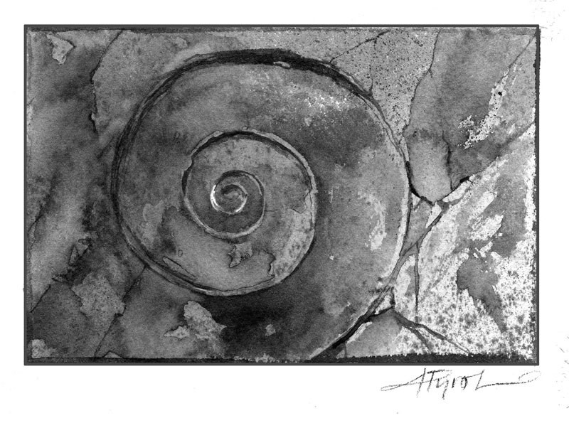
Shall we go to the beach today? If you can’t afford Bermuda or sunny Florida, perhaps we can visit some former beaches closer to home. Put on your boots, and leave the flip-flops because we won’t be walking on sand. These former beaches consist of rock, and they are in the mountains and hills around us.
You may have heard that seashells can be found atop Mount Everest. There are no seashells, but there is evidence of long-ago ocean life embedded in the limestone at Everest’s summit: fossils, including those of crinoids, ancient underwater animals with tentacles and cone-shaped shells. These fossils are found at 29,000 feet because the highest point on Earth was once under sea. Likewise, many of the mountains in New Hampshire and Vermont were once under water.
One of my favorite former beaches in Vermont extends along much of the western length of the state. One can see evidence of it east of Route 7 in the form of the dramatic ramparts at White Rocks in the Town of Wallingford, and at Bristol Cliffs, just north of Middlebury. These shining white quartzite (metamorphosed sand) cliffs were once the first real beach of Vermont.
Marjorie Hollis Gale, a geologist with the State of Vermont, explained that 550 million years ago these cliffs were beach sand and were part of the outer rim of a huge mass of land in the Southern Hemisphere. Thanks to the forces of plate tectonics, the land moved northward and became a part of North America. Evidence of this one-time beach can be found from Alabama to Newfoundland. The rock, known to geologists as Cheshire quartzite, named for its prominence in a town in Berkshire County, Mass., has a handsome clean look. That’s because ocean surf washed silt and clays from the sand before it was hardened by heat and pressure over millions of years.
Some of the world’s earliest coral reefs were formed along that ancient beach, and remnants of that reef can be found not only at White Rocks and Bristol Cliffs but also on Isle La Motte in Lake Champlain. On Isle La Motte the famous Chazy Reef draws geologists from around the world to view the fossils of tiny sea creatures that lived 450 million years ago.
As the result of tremendous geologic forces, other chunks of land separated from that Southern Hemisphere mass of land to form huge moving islands. One island moved north and crunched into the new continent to become much of what is now Maine and New Hampshire.
Evidence of this former island is found in what’s known as the Clough Formation, a strip of ocean-churned quartzite and quartz pebble conglomerate, which exists along the western edge of New Hampshire, near the Vermont border. University of New Hampshire geologist Peter Thompson recommends visiting this old ocean beach during a hike on the Appalachian Trail at Lambert Ridge in Lyme. The same quartzite formation is exposed near Whaleback Ski Area in Enfield.
Other hidden marine “beaches” of a much more recent vintage exist in the region. As the last continental glacier on North America began melting 11,000 years ago, the icy barrier to the waters that we would now recognize as the Atlantic Ocean dissolved, and seawater began flooding the area that was to become much of Franklin, Chittenden, and Addison Counties in Vermont. (A skeleton of a beluga whale, in fact, was unearthed by railroad workers in 1849 in the town of Charlotte and is on display at the Perkins Geology Museum at the University of Vermont.) Norwich University geologist George Springston has studied this sea, known as the Champlain Sea, and has developed a detailed topographic map of one area, the Town of Williston in Chittenden County, on which he can trace the terraces of former beaches ringing the local hills.
Marjorie Gale noted that Mt. Philo in Charlotte offers evidence of two beaches: limestone from the 11,000-year-old beach and quartzite from the 500-million-year-old beach.
On Mt. Philo a hiker can take in awesome views of Lake Champlain and the Champlain Valley; he or she can also look down at red rocks under foot and note the indentations made by the ripples of ocean waves.


Discussion *