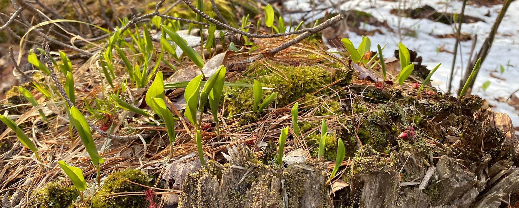
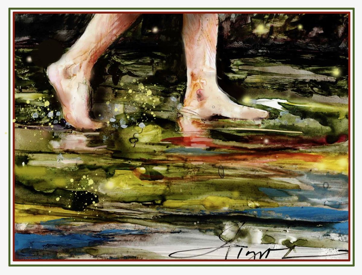
Most people know that the bottom of a northern lake or large pond is a mucky, muddy mess of weeds, decayed leaves, some rocks, and a few crayfish to avoid stepping on while wading. This area is known as the lake shelf. Just beyond the shelf is often a steep drop-off – usually 20 feet deep or more – known as the slope, followed by a longer and much less steep rise leading to the deepest part, known as the basin. With every storm and footstep, most of the muck is resuspended, moving and settling again on the rise and basin. Most northern lakes have at least 10 feet of mud beneath the basins. Mirror Lake in West Thornton, New Hampshire, has at least 45 feet of this mud. The technical term for this lake bottom mud made of mineral silt and decaying organic matter is gyttja, a Swedish word pronounced “yitcha.”
Gyttja’s silt-sized particles range between 0.002 and 0.05 mm in diameter. Finer sizes are referred to as clay. These sediments were left by ice sheets grinding down the rock beneath them over tens of thousands of years. These clays and silts were then eroded from nearby hillsides and washed down into lake bottoms over the years. Basins can accumulate up to 1 mm of sediment per year. Beneath gyttja, most New England and New York lakes have sand, gravel, cobbles, and boulders that were also left or washed out of the ice sheet as it receded from these areas 14,000 to 15,000 years ago.
Gyttja density varies from about 1.8 grams per cubic centimeter at its nearly inorganic bottom to 1.0 – the density of water – at the sediment-water interface where suspended particles form a murky layer. By weight, gyttja’s mineral content tends to be 60 percent or more quartz and about 20 percent feldspars and micas. Organic matter, from a few percent at the bottom of the gyttja to nearly 40 percent at the top, includes rotting and totally decomposed vegetation, fish waste, and algae.
Gyttja’s organics, exotic chemical content, and layer structure can reveal ecological and climate history. By extracting cores – usually 3 inches in diameter – scientists can date and study pollen, toxic metals, pesticides, and other inorganics. Pollen research done at Harvard University in the 1970s determined that, after glaciers receded, herbaceous plants were the first to return to New England about 13,000 years ago, followed by spruce trees, then pines and oaks. In New Hampshire and Maine, Plymouth State University geologists have documented the recent history of DDT, evidence of shoreline erosion from motorboat activity, and ancient occurrences of cyanobacteria.
Also in the 1970s, Cornell University researchers discovered hundreds of nearly pure mineral layers embedded within gyttja cores – up to 10 in one centimeter. Layering style and sand content identified them as turbidites, or layers created by turbidity currents. These currents are denser than lake water because of their silt and clay content, so they travel along lake bottoms, much like an underwater sandstorm. They are generated from slumps or slides on slopes, where sediment deposits are most unstable, and are typically caused by large-scale disturbances, such as floods. These layers provide information on climate history by indicating when intense storms occurred. In the late 1990s and early 2000s, researchers at the University of Vermont found that over the past 13,000 years, storm-driven turbidites frequently occurred in intervals lasting from about a few hundred to over 1,000 years, with evidence that we may be in the midst of a 1,500-year period of intense storms.
Most New England lake water and gyttja have low electrical conductivity, which allows special, low-frequency radar signals to penetrate gyttja and reflect from the denser turbidite layers, revealing more about how turbidites form. Since the early 1990s, my own radar profiles of 25 New England lakes have shown that entire lake sub-bottoms are often stratified with continuous, datable, turbidite horizons. Most importantly, I found that turbidites protect underlying gyttja from storm erosion, thus preserving valuable core data, which can be used to uncover the Northeast’s ecological past. Next time your toes are squishing into the mud of a lake bottom, think about how valuable the layers of turbidite and gyttja are! This fascinating muck holds some of the answers to the past.