
Assessing forest health can be challenging for state and federal agencies, which often rely on limited staff to survey vast forest acreage. One of the most efficient ways to monitor large areas is by air. The U.S. Forest Service’s Forest Health Protection (FHP) Aviation Program works closely with state partners to provide annual monitoring of forests across the country. Using aerial and ground survey techniques, the program collects data about forest health indicators such as tree decline and mortality, insect and disease infestations, and climate- or weather-related tree stress. These observations offer valuable insights into the extent and severity of forest health issues and help state and federal agencies set management priorities.
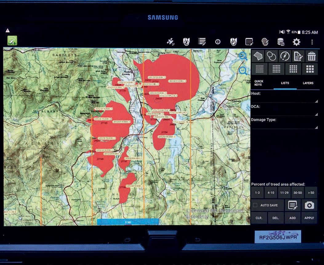
To ensure that data is accurate and consistently recorded nationwide, state and federal agencies use the U.S. Forest Service’s Digital Mobile Sketch Mapping (DMSM) system. Working on GPS-enabled mobile tablets, surveyors use software to draw polygons of forest damage on digital maps, representing what they’re seeing from the air as they fly along a grid line in fixed-wing aircraft, or sometimes helicopters. Grid lines are typically 4 miles apart, although in areas of steep terrain, they may be only 2 miles apart. Flights usually occur in early summer, when skies are clearest and surveyors can detect early season defoliation, which is especially damaging to trees.
Forest damage as seen from the air has certain characteristics, referred to as signatures, that enable the surveyor to identify the causal agent and type of damage. Flights typically last 3 to 4 hours, and surveyors typically fly 20 to 30 hours in a season. Once they have completed their aerial assessments, surveyors ground-check forest areas where they have recorded damage on the DMSM, both to ensure the accuracy of their observations and to confirm which insects, diseases, or other damage are impacting the trees.
The Forest Service stores this information in its national Insect and Disease Survey (IDS) database. It uses the data to develop various products that serve both public and private forest managers. State agencies also share survey results with the public through reports, maps, and newsletters.
The IDS enables forest health specialists to look back over multiple years and to determine possible long-term causes of tree mortality. For instance, an area with many dying trees may have damage that occurred in previous years from forest pests or storms. Combined datasets available through IDS may also help reveal patterns that would not be evident from a one-year sampling.

Aerial survey data is finalized in October each year; some preliminary results from this past summer’s surveying were available by the time this article was written. For example, Vermont Forest Health Program Manager Josh Halman reported that “white pine needle cast disease has been the big event this year.” Vermont surveyors did not map any hardwood defoliation this year, but they did see some scattered mortality from emerald ash borer and the recent spongy moth outbreak.
In New Hampshire, Division of Forests and Lands Forest Health Specialist Bill Davidson also reported that “the largest disturbance by far was white pine needle damage” and that surveyors had mapped 114,000 acres of discoloration. New Hampshire surveyors also mapped considerable oak mortality – 13,000 acres – from the spongy moth outbreak a few years ago. Most of this damage is in the Conway area, with some smaller pockets around Concord. In addition, they mapped 8,000 acres of ash mortality from emerald ash borer and 1,800 acres of red pine mortality from red pine scale in the southern and southwestern region of the state.
In Massachusetts, early data suggest a similar story. “Most of what we saw this year was discoloration from white pine needle disease,” said Massachusetts Department of Conservation and Recreation Forest Health Specialist Felicia Hubacz. Surveyors also mapped defoliation of beech caused by beech leaf disease, mortality of ash from emerald ash borer, mortality of red pine from red pine scale, and some spongy moth defoliation.

In Connecticut, oak mortality from prior years of spongy moth was substantial in Litchfield County. Ash mortality from emerald ash borer was also visible in the northern parts of the state. Elisabeth Ward, who manages the aerial survey program for the Connecticut Agricultural Experiment Station, noted in particular that there was a substantial increase in tree mortality in the northwest corner of the state where there are high concentrations of white ash. She also reported severe defoliation of beech from beech leaf disease throughout the entire state.
In Maine, the forest tent caterpillar outbreak – which began in 2022 – has continued into 2024, and aerial surveys show 60,502 affected acres, double the amount of damage documented in 2023. In northern Maine, aspen bore the brunt of this damage, while in other areas of the state, surveys recorded damage to sugar maples. Other defoliation mapped this year in Maine was from winter moths (10,707 acres) and browntail moths (1,818 acres) in the midcoastal and southern areas of the state. Maine surveyors also documented more than 1,100 acres of beech stands showing damage from beech leaf disease.
Another significant forest health concern in Maine is the prospect of another big outbreak of spruce budworm, which can have devastating impacts on fir and spruce stands. Mike Parisio, an entomologist with the Maine Forest Service who conducts aerial surveys, reported that the spruce budworm outbreak, which has been going on in Canada for several years, has moved into an area along the Quebec border in northern Aroostook County. The state has been monitoring this area with moth collection traps for many years, and last fall, a field technician confirmed elevated levels of larvae in this area. Parisio, who flew over Aroostook County this past summer, offered this guarded reassurance: “It looks really bad from above, but the defoliation looks less severe when viewed from the ground. We’ll see what will happen over the next couple years.”
National annual reports and state forest health highlights, including aerial surveys, are available online here.