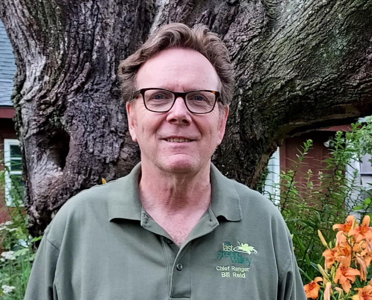
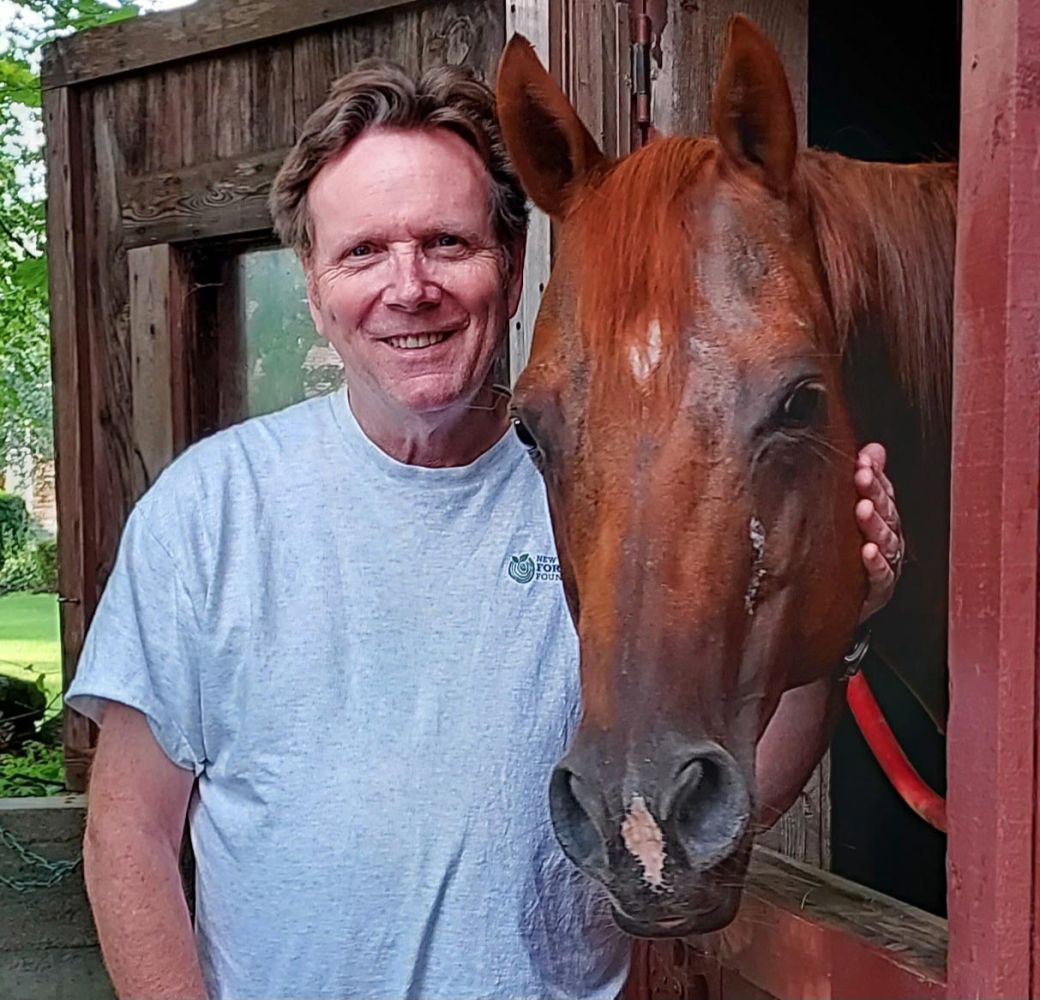
Bill Reid’s interests range from history and natural resources to paddling and hiking, so he seems perfectly matched to his role as the Chief Ranger for The Last Green Valley National Heritage Corridor, which spans 35 towns in northeastern Connecticut and southcentral Massachusetts. Bill lives with his wife, Julie, in Putnam, Connecticut, where they have a small horse farm, and he oversees forest management at his family’s 140-acre parcel in Fitzwilliam, New Hampshire. A strong proponent of citizen science, Bill also monitors bats and bald eagles for the state of Connecticut.
I grew up in Weston, Massachusetts, which I consider a “leafy suburb” of Boston. It was a nice town to grow up in. My dad was a local physician and took care of a lot of people in town – classmates, teachers, firefighters and police officers – I couldn’t get away with anything. Weston had a lot of open land when I lived there, in the 1960s and ’70s, and our house was basically in the woods. I had some good friends who lived within walking distance, and we knew every path and every shortcut through the woods, every pond, so we were catching turtles and frogs.
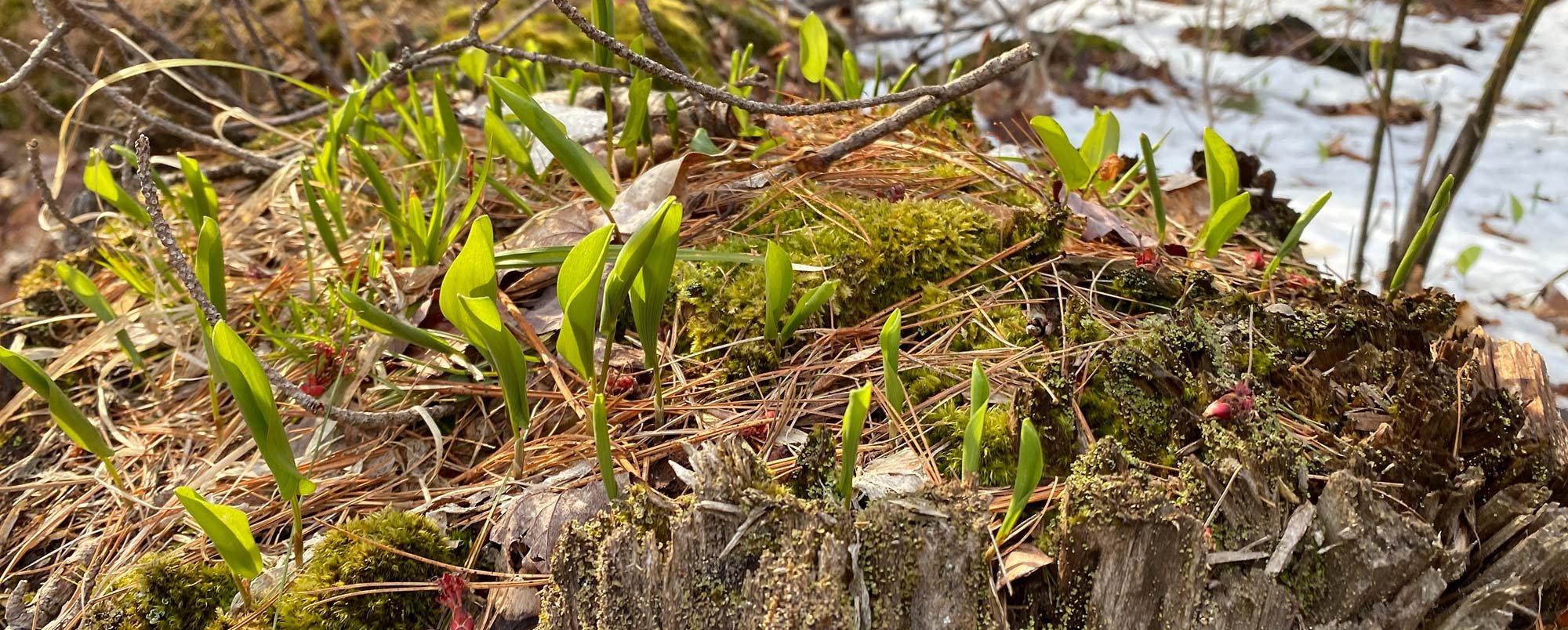
I also spent time at my grandparents’ home in Fitzwilliam, which has about 140 acres of forestland. When my grandparents passed away in the late 1960s, my dad was able to take over the property. All through high school and college years I spent many weekends there and discovered that the New Hampshire forest was much different than my Boston suburb hometown. It was more of a connected forestland to larger tracts of woods, not cut into smaller parcels as it was in Weston. Our land has a little bit of everything. I can go from upland hardwood down into wetland habitat. Our eastern border is a beautiful, winding small stream, Kemp Brook, which is about 30 feet wide in some sections and fun to paddle.
My dad knew we needed to use the forest to help maintain the property, which included the original house and outbuildings, built in the 1770s. He contacted the Cheshire County Extension Service Forester for advice. That decision has resulted in 50 years of forest management with a consulting licensed forester, and a system of intermittent harvesting and timber stand improvements. Our land is mostly white pine, with some hemlock, spruce, and a mix of hardwood, oak, beech, cherry, and yellow birch. The series of timber stand improvement harvests, about every 8 to 10 years, helped improve and maintain the antique structures. After our parents passed, my siblings and I took ownership of the property.
I’ve always liked history, so I decided to major in history in college, and when I graduated, I went to work at Old Sturbridge Village in Sturbridge, Massachusetts. I loved it. I was an historical interpreter. Now they call them costumed historians. I worked in the historical agriculture program and at the pottery and pewter shops. I worked with a wonderful group of museum staff. Some of our historical interpreters were retired and some just out of high school. A few were even in their 90s. After a year, I just happened to be the right guy at the right place at the right time, and I got promoted to a coordinator position, where I was responsible for the management of the agricultural program – two historical farms, the gardens, and the water-powered mills. I didn’t grow up on a farm, so I was really on intake a lot and learning so much from older, experienced costumed interpreters, especially two retired dairy farmers. After about 10 years, I transferred to the development office, where I learned a lot about management of nonprofits, fundraising, and community relations. But I prefer working in programs and am not really a suit and tie guy. I left Old Sturbridge Village after 28 years there, but I’m still involved. I joined an advisory council – the Council of Ambassadors – and now I’m the chairman of that. In 2006 I started my work with The Last Green Valley.
The Last Green Valley is two things: it’s a place, and it’s an organization. There’s an official designation as a National Heritage Corridor – 1,000 square miles, 700,000-plus acres. The region where we are is 35 towns – 26 in Connecticut, 9 in Massachusetts. It is more than 85 percent undeveloped land, even though we border the I-95 corridor. The population in our region, within those 35 towns, is just over 300,000.
It’s rich in natural resources and also in cultural resources. This region is home to Native American indigenous people that have lived here for thousands of years, and the English and European settlers that arrived starting in the early decades of the 17th century. The stories of the people that for years made our river valleys and hill towns home is compelling, and important to understanding who we are today.
As a designated National Heritage Corridor, TLGV reports to the National Parks Service, and we receive most of our funding through the NPS. We use that primarily to engage with the general public that reside within or visit The Last Green Valley – to get them to understand and appreciate the natural and cultural resources and what makes this place unique. And out of that appreciation, the hope is that they’ll take more ownership of the region – and maybe join their local historical society, conservation commission, or land trust. We are also a nonprofit organization and raise private funds from various sources, individuals, businesses, and foundations, to help support our programming.
When I came to TLGV, there was a very successful program we now call Walktober: a series of walks, hikes, paddles, programs, and events from mid-September to early November, led by partner organizations, volunteers, and TLGV staff and rangers. Walktober has developed over the past 30 years to now include more than 200 opportunities. We felt the need to develop a range of programs, and I was asked to help in 2009 with a new program called Source-to-Sea: Connecting the Drops Through The Last Green Valley. Over six weekends in the spring, we paddled the mainstem rivers all the way to Long Island Sound. Along the way, we drew attention and awareness about water quality issues, while highlighting the significant recreational opportunities of our beautiful rivers.
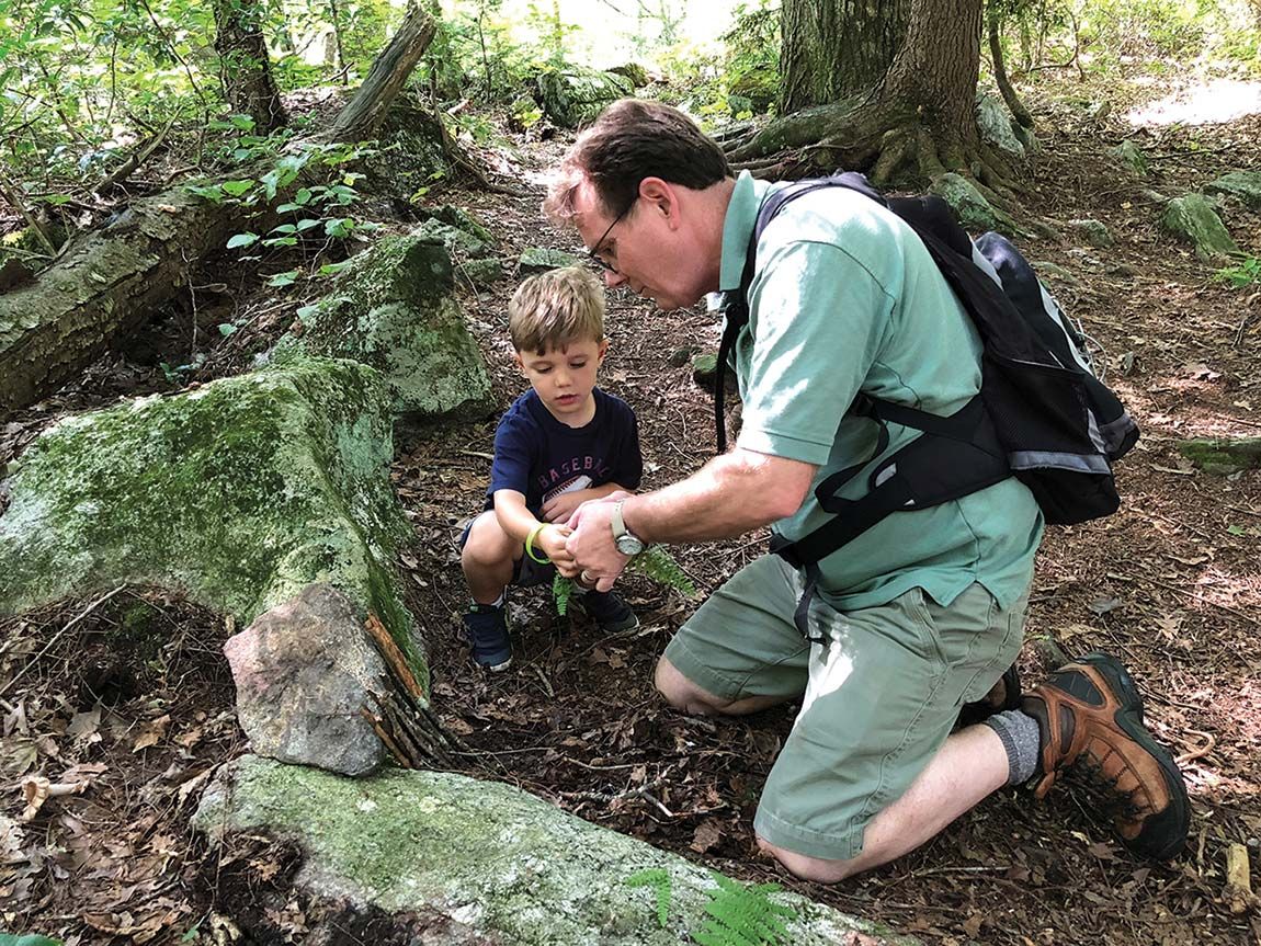
Coming out of that, we realized that we needed more “feet on the street” programs. I was asked to develop a volunteer ranger program and organize public outreach, talks, and monthly programs for adults and children. To spread the word about the National Heritage Corridor our volunteer rangers go to where people are – from small town old home days to big fairs. Our rangers do public outreach by setting up a TLGV Ranger Information Booth at as many public events as we can get to within the 35 towns that comprise the national heritage corridor. This year we’ll be at over 50 event days between March and the end of October. We couldn’t do this without our dedicated rangers.
I also help organize and deliver monthly programs for adults called TLGV Adventures, and Acorn Adventures for children. The rangers also do talks – at historical societies, conservation commissions, and libraries, and TLGV organizes a summer Trail Camp for kids from the region. We also produce several publications, including the Explore Guide we put out every June with things to do in our region – from farmers markets to all the state parks, where to paddle, where to hike, where to ride a horse, where to scuba dive. In essence, my job is to introduce and interpret the natural and cultural resources in the corridor to residents and visitors alike. We do this in conjunction with many partner organizations, from land trusts to historical societies and museums, conservation commissions, Corps of Engineer rangers, and state wildlife and forestry departments.
We really believe strongly in citizen science, and we are the boots on the ground for state biologists in some areas. We have volunteers doing water quality monitoring. We help the state Department of Energy & Environmental Protection (DEEP) with the mid-winter bald eagle survey within the 26 Connecticut towns that are in the corridor – I help monitor a bald eagle nest near my home during their breeding season from late February to fledging in later June, and I help keep track of the other nests throughout the region, each with their own monitor. That work led me to help monitor bats, another volunteer activity that is fascinating and rewarding.
The story of white nose syndrome and its decimation of bat populations is well known. Connecticut DEEP monitors bats by going to where they roost in the summertime and counting them, and by conducting an acoustic bat survey by recording their nighttime echolocation calls. I record bat calls twice a month over a prescribed 20-mile route – one of 12 transect routes throughout the state. I drive 18 to 20 miles per hour – basically driving at about the speed the bats fly. You can’t go in the rain, it can’t be cooler than 50 degrees, and you start 30 minutes after sunset. This time of year, that means, we’re starting at 9, finishing after 10, getting home around 11. My route is from Windham to Putnam.
Attached to the top of the vehicle is a microphone (bat detector), 12 inches tall. There’s a cord that comes out of the microphone and attaches to a laptop loaded with special software that plots the frequency of each bat call. As I drive along, there’s a line across the screen, and every time a bat calls, it shows up as a sweep on the screen. The shape of the sweep is an indicator of the species. The data all goes back to the biologists. It’s been going on for several years now, and our state wildlife biologists now have a better understanding of what’s happening with the population of specific species. There’s a sense that the population may be stabilizing, that maybe they’re establishing a resistance to white nose syndrome.
For the past five years my job has also included working with forest landowners through a large grant TLGV received from the USDA Natural Resources Conservation Service Regional Conservation Partnership Program. This is a three state initiative including Massachusetts and Rhode Island, and my focus is on engaging forest landowners in Connecticut. We helped 50 landowners representing almost 3,000 acres get a forest management plan with a certified forester, along with a bird habitat assessment from Audubon Connecticut. This initiative also includes forestland conservation through the NRCS Healthy Forest Reserve Program, with a goal of conserving 1,000 acres in the three states. I am pleased that we are now moving through the final process of achieving this goal. I have also worked with the CT DEEP Forest Planner and Forest Legacy Program Coordinator on a group application with several forest landowners from CT to the US Forest Service, Forest Legacy Program. These landowners represent approximately 1,000 acres in northeast Connecticut, and we are hopeful for successful results with that application this year.
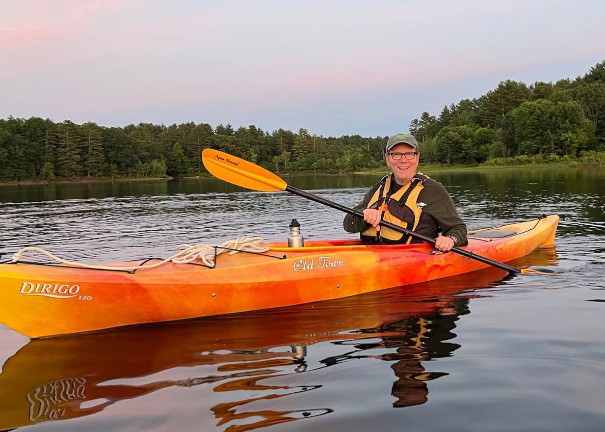
My own experience as a forest landowner in New Hampshire has helped me in this work. I also serve on the board of the Eastern Connecticut Forest Landowners Association and Wolf Den Land Trust, so my work in forestry and conservation extends beyond my job. I also love to ski in the winter, and I enjoy hiking and paddling. My fun time and my work time blend.
Discussion *