The Laurentide ice sheet that covered New England for millennia began receding about 18,000 years ago. As Earth’s climate warmed, ice melted faster than it was created. The southeastern drift of the ice sheet stopped, leaving vast deposits of sand, gravel, silt, and stone at the ice’s edge. On the Connecticut River in Rocky Hill, Connecticut, a dam of gravel and rock blocked the river 16,000 years ago, creating a vast glacial lake known as Lake Hitchcock.
With New England’s orphaned ice disintegrating, meltwater flooded the Connecticut River basin all the way to West Burke, Vermont, including the deltas of the Connecticut’s tributaries, which became fingers of this lake. The water level in Lake Hitchcock remained 50-100 feet higher than the current level of the Connecticut River for about 3,000 years.
We might think that, because elevation increases moving up the Connecticut River, the lake would have stopped farther south. But the glacier’s weight compressed the terrain underneath it. After the ice disappeared, the surface rebounded. Compression was greatest in the north, where the glacier was thickest and oldest.
About 13,000 years ago, the weight of the water in Lake Hitchcock breached the Rocky Hill dam. In one giant, slow-motion whoosh, Lake Hitchcock drained to become more or less the current Connecticut River valley.
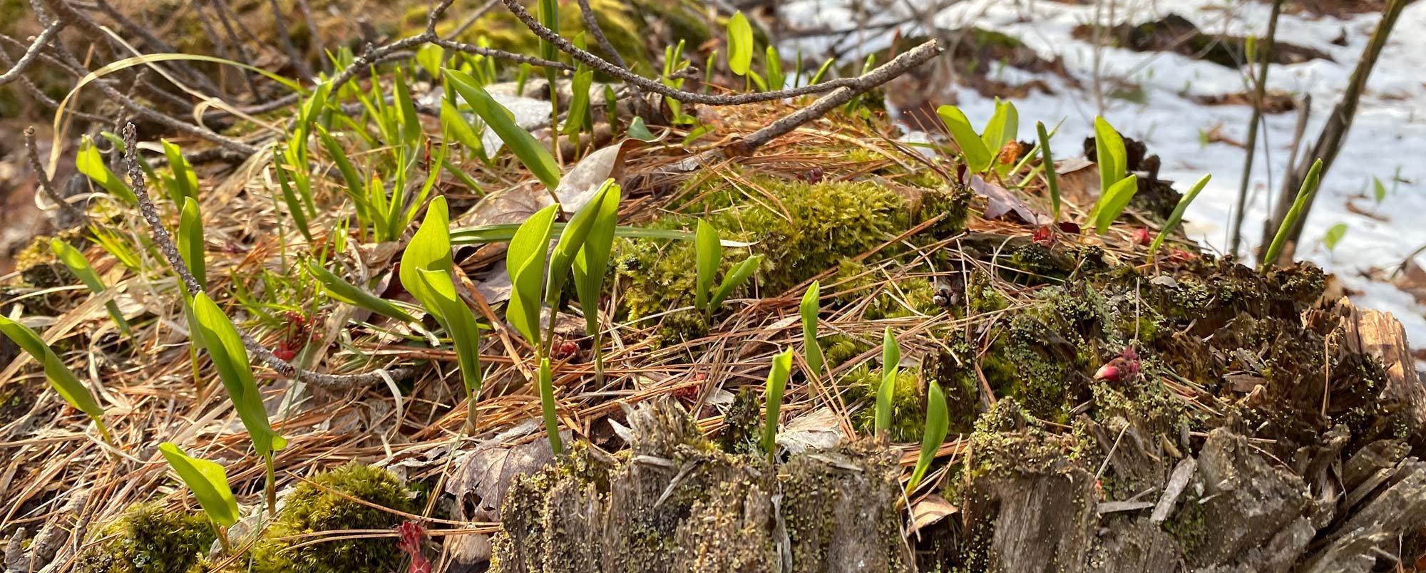
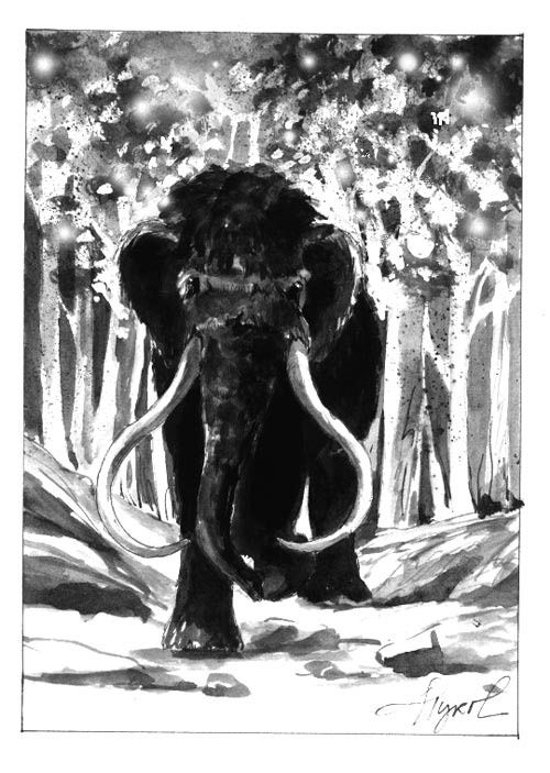
The landscape topography at this time was, in its bones, like that of today, but the ice-scoured terrain was sparsely covered. Plants, shrubs, and trees crept north as climate moderated. Animals followed as vegetative food sources took root. Humans came next, hunting the mastodons, caribou, and bison that populated the reawakening landscape.
By the Hockanum River near East Hartford, Connecticut, the first visiting Europeans found that the Native Americans living there called the place Podunk – “a swampy place.” History has redefined the word as “a small, unimportant place,” but the term is also the name of a soil type first identified there.
The same bedrock, sediment, and weathering forces that created the original Podunk soil occurred closer to home, such as in the White and Ottaquechee River valleys and other sites in the geologically fascinating Connecticut River watershed. Geologists and soil scientists have identified hundreds of soil types based on the soil’s structure, the rock and sediment from which it was created, and the forces that have moved it.
The Connecticut River floodplains contain some of Earth’s finest agricultural soils. Such fertility is due both to the soil’s physical structure and the chemical composition of the “parent material” – the original rocks milled into soil by the Ice Age.
As the ice sheet flowed southeast, it ground the Green and White Mountains into grades of soil and stone. It also moved soils and stones created by even older weathering processes. Later, the vanishing ice melted and flowed into Lake Hitchcock. Larger stones, sand, and gravel settled out quickly.
As waters calmed, larger silt particles settled out during summertime, followed by very fine clay particles that settled out in winter under lake ice, when the water was calmest. These alternating layers of clay and silt are known as “varves” and are still visible in some riverbanks. Varves, like tree rings, establish a record of their annual formation and are a treasure trove of information for geologists.
Some rocks grind into clay – very fine particles that clump or stick together; others create sandier materials with more space between particles. Different soils have varying ability to hold water and nutrients; clay does this better than sand. Ideal agricultural soils blend these components – enough clay to hold nutrients and enough sandy material to allow water to drain.
This mixture results largely from the ice sheets grinding bedrock into small pieces. “Glacial till,” as this material is called, ranges in size from boulders to stones to sand to clay, all mixed together as if in a giant tumbler. Soils that form in river deltas sort this mixture out, leaving the coarsest material in the uplands and creating fine-particled “alluvial,” or flood-formed, soils on relatively flat lowlands.
Bedrock high in calcium – like limestone – creates alkaline soils that make nutrients more available to many plants. In east-central Vermont, for example, the Waits River Formation is a snakelike belt of calcareous (containing significant calcium carbonate) bedrock. This material, when ground into soil and eroded, creates a fan of fertility downstream.
Lake Hitchcock may be gone, but its legacy is alive. Its formation and departure rinsed the accumulated jumble of materials from the Laurentide ice sheet, sorted it into fertile riverside plains, and shaped the modern ecology of New England’s greatest river. Some of us may be living or farming on a soil now called Podunk. It’s not “an unimportant place” at all; it’s where we’ve put down our roots.