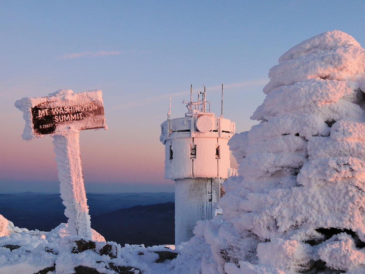
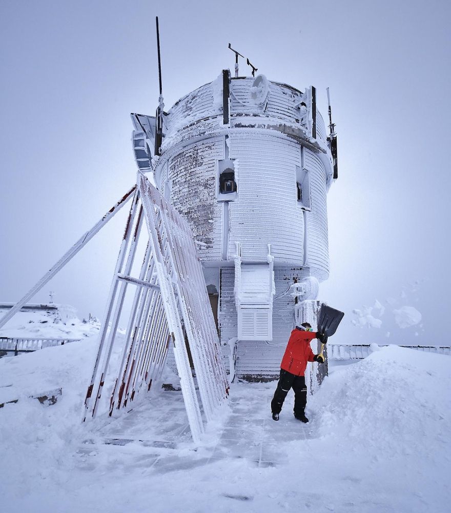
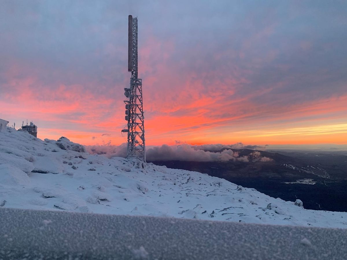
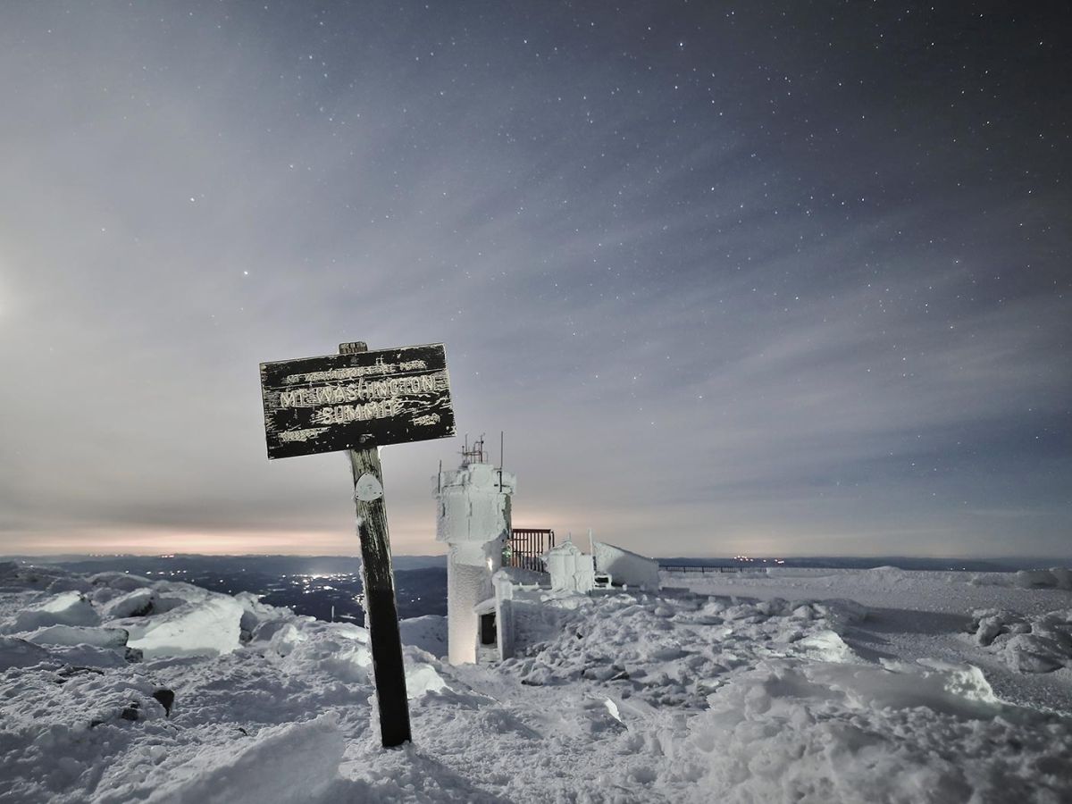
A winter sunrise reveals the summit sign atop Mount Washington. The Mount Washington Observatory tower, topped by the parapet that holds weather instruments, is visible in the background. Rime ice laces all: sign, tower, and trail-marking cairn. Photos by Ryan Knapp/MWOBS unless labeled otherwise.
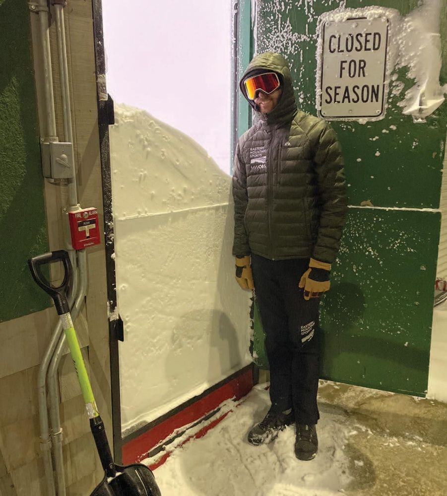
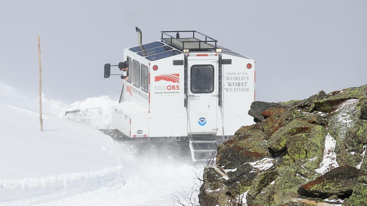
Rising to an elevation of 6,288 feet, Mount Washington caps New Hampshire’s Presidential Range and is the highest peak in the Northeast. On a clear summer day, hordes of visitors flock to the summit – via hiking trails, a paved auto road, and even a train – lured by panoramic views, cooler air, and a chance to snap a photo by the summit sign. But the weather can turn brutal with a mere shift of the wind. Winter is a particularly unforgiving season here, high above tree line. Known as the “Home of the World’s Worst Weather,” the mountain has also been home to the Mount Washington Observatory (MWOBS) for the past 90 years.
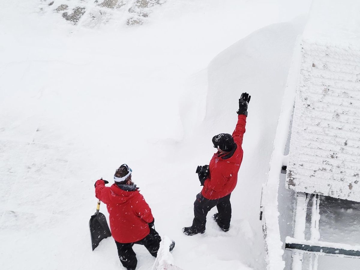
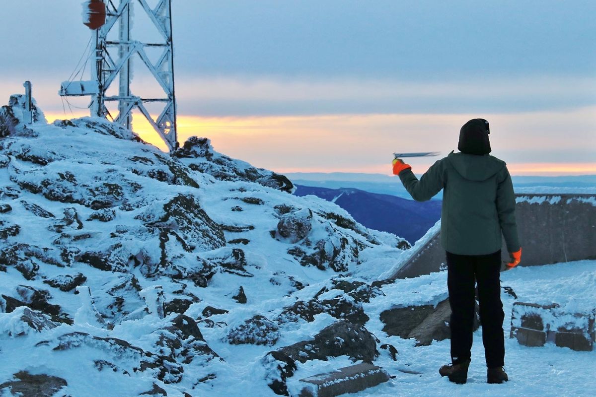
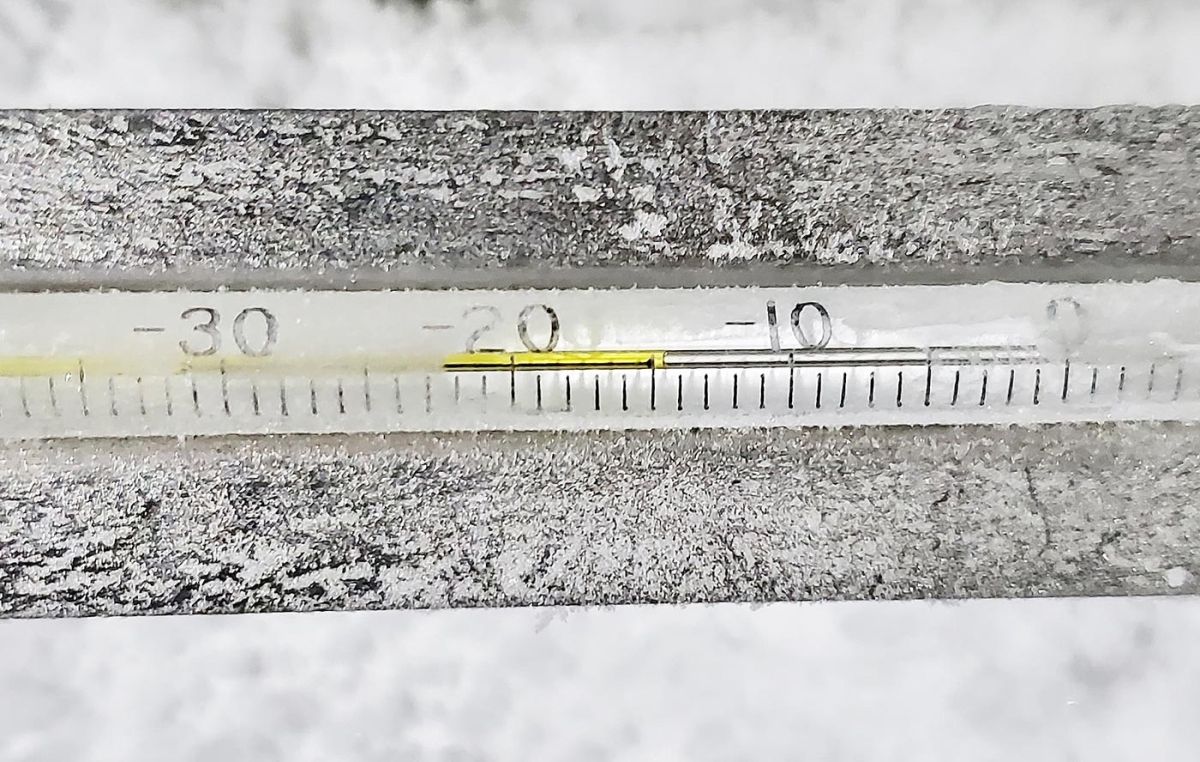
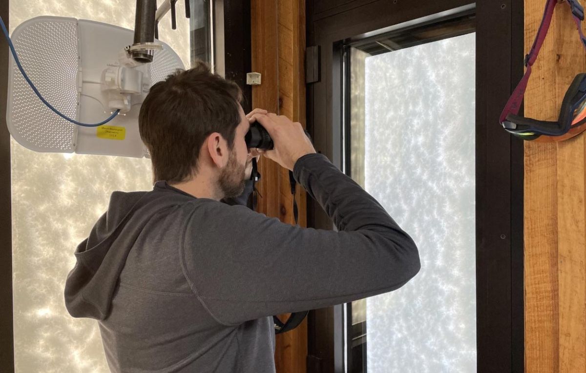
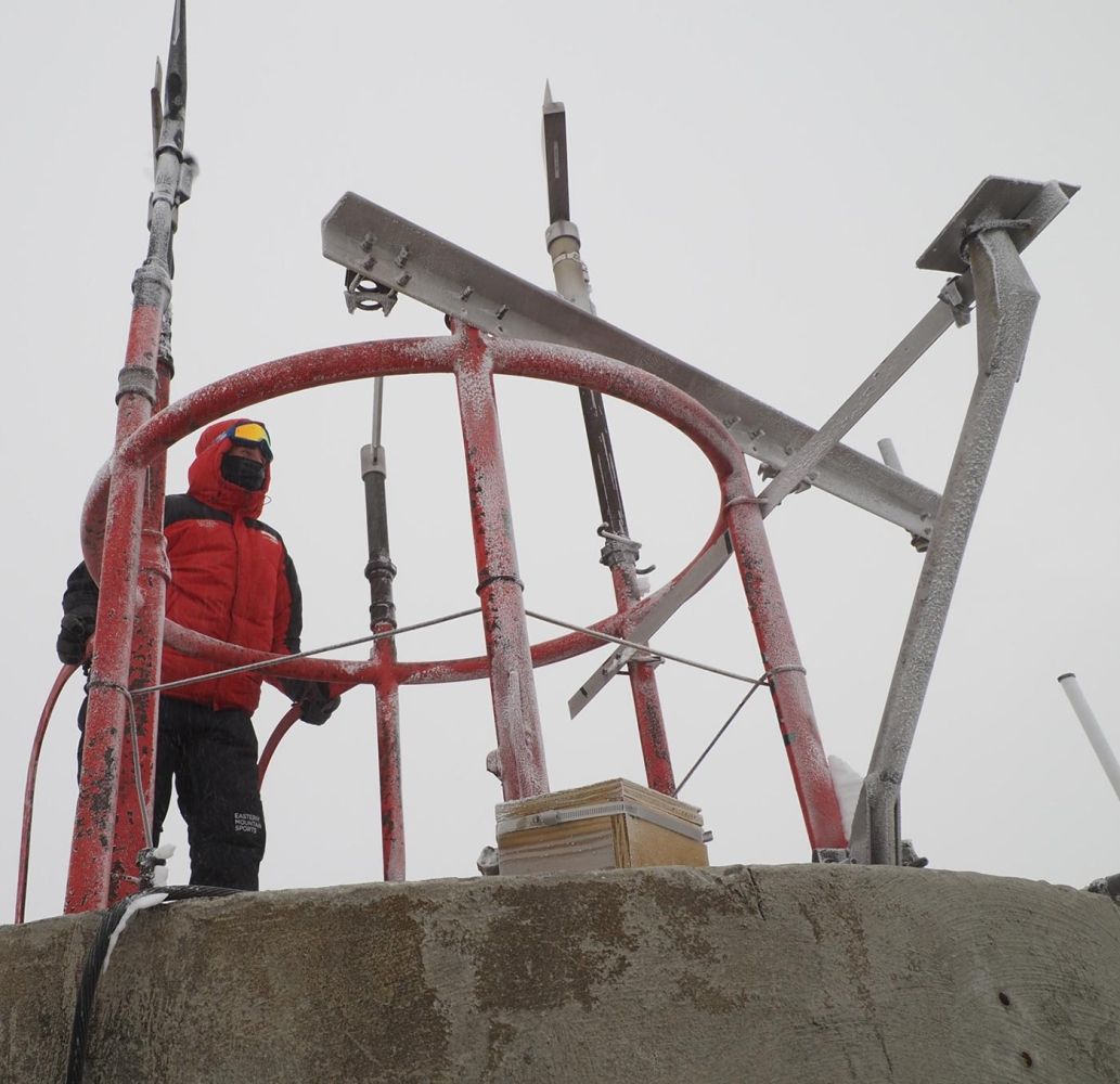
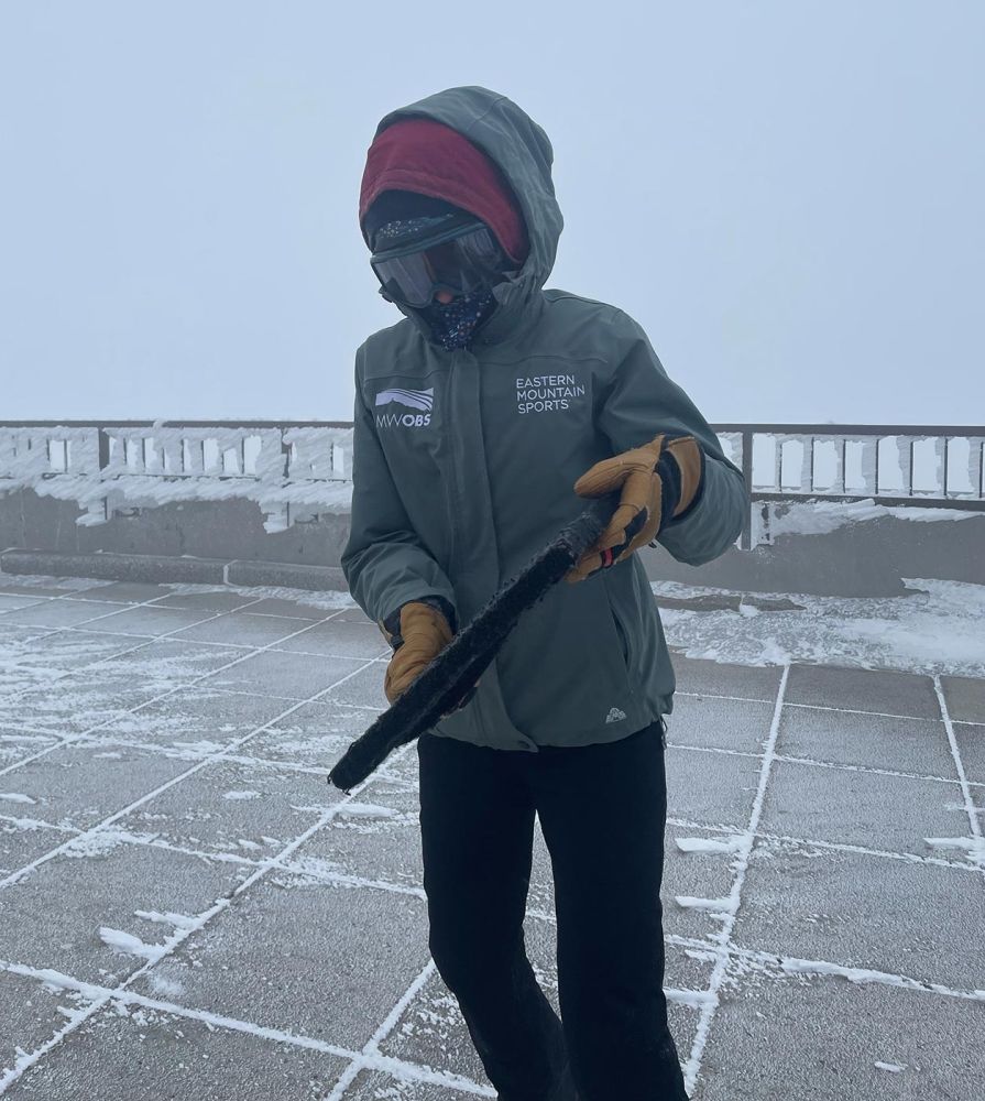
In every season, during every hour of every day, a “weather observer” from the Observatory leaves the Jack Middleton Weather Room in Mount Washington State Park’s Sherman Adams building at the summit to measure temperature and wind speed. Observers also note cloud type and cover and how snow has drifted and piled on the observation deck. This hourly excursion is no small feat. It regularly involves exposure to hurricane-force winds and subzero temperatures, and observers must clear snow and rime ice from data-collecting instruments.
Back inside, the staff inputs data and studies weather radars and forecast models to create the daily Higher Summits Forecasts. The observatory, a nonprofit, member-supported organization, also provides data to the National Weather Service, offers educational programs and workshops, and collaborates with scientific and educational organizations to conduct weather- and climate-based research – from the powerful influence that mountains have on weather to the effects of climate change on high-altitude environments.

Visit the Mount Washington Observatory to access the Higher Summits Forecast, or see the summit view through the MWOBS webcams.
Discussion *